CM-10

Coastal & Riverbank Change Monitoring

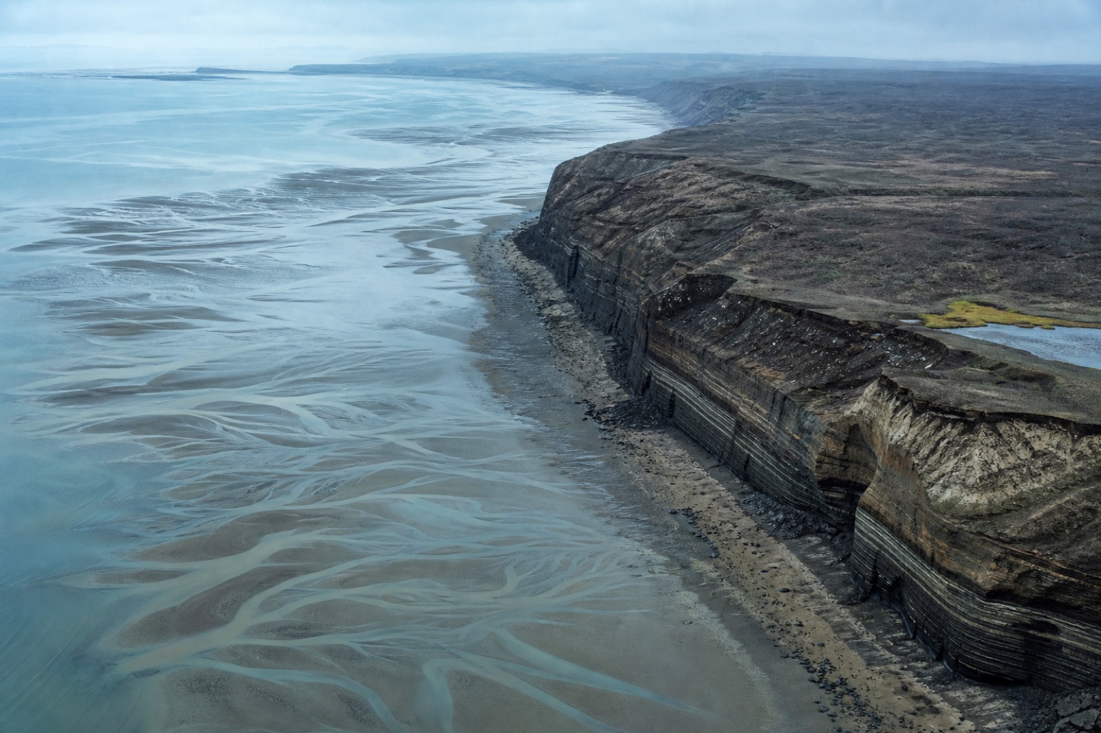
Repeat-epoch capture of erosion, accretion and bank retreat with the uncertainty stated per epoch.

Coastal & Riverbank Change Monitoring

Measuring change means comparing two surveys, and the comparison inherits the uncertainty of both. Anything smaller than the combined detection limit is not erosion, it is noise, and we mark it as such rather than reporting it as change.

Every repeat survey reuses the same marks, the same setup and the same flight lines. Consistency between visits is worth more here than absolute accuracy in any single one of them.

Working the tide

Coastal flights are planned against the tide table, not the calendar. The waterline moves further in an hour than a year of erosion does, so surveys are matched to the same tidal state or the comparison is meaningless.

Reporting

Change maps, volumes of loss and gain, retreat distance along a fixed baseline, and a clear statement of what the survey pair can and cannot detect.

What lands in the data drop

Classified point cloud — LAS / LAZ Bare-earth terrain model — DTM Digital surface model — DSM Orthomosaic — Ortho GeoTIFF Contours & breaklines — Contours Volumetric computation — Volumes Signed accuracy report — QA report

Control scheme applied

PPK trajectory tied to a distributed target network at roughly one mark per 15 ha, with 30% held back as blind checks. Our default for design-grade deliverables.

Scheme C-3 · horizontal 1.2 cm · vertical 2.0 cm · 1 mark / 15 ha

Start a project

Send us the site boundary. We will send back a flight plan.

Share an area of interest, the accuracy you need and the format your engineers work in. You get a mission plan, a control scheme, a fixed price and a delivery date — usually within one working day.

Request a quote +1 555 000 0000

Typical reply time: 1 working day