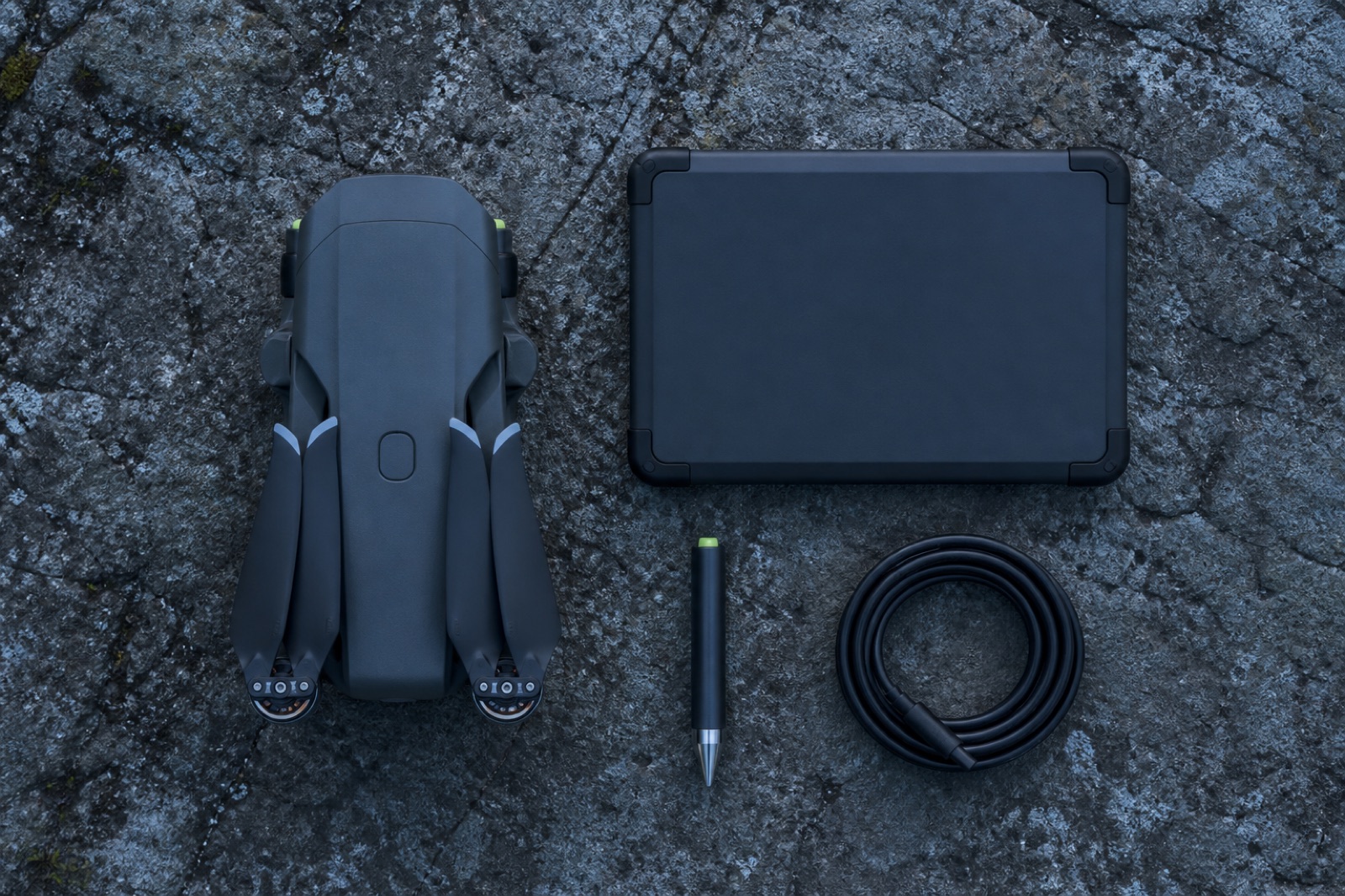
A deliverable is a file plus a claim about that file. We ship both. Every dataset arrives with the coordinate reference system it is on, the vertical datum and geoid model it was reduced through, the control that constrained it, and the residuals measured on checkpoints that were withheld from the solution.
Formats are written to your specification before the first flight, not after the first complaint. If your GIS wants GeoPackage and your designers want DWG on a specific layer standard, that is settled at scoping.
Retention
Raw imagery, raw scanner returns and raw GNSS observations are retained for twelve months. That means a dataset can be reprocessed against a revised geoid, a corrected base position or a new classification standard without flying the site again.