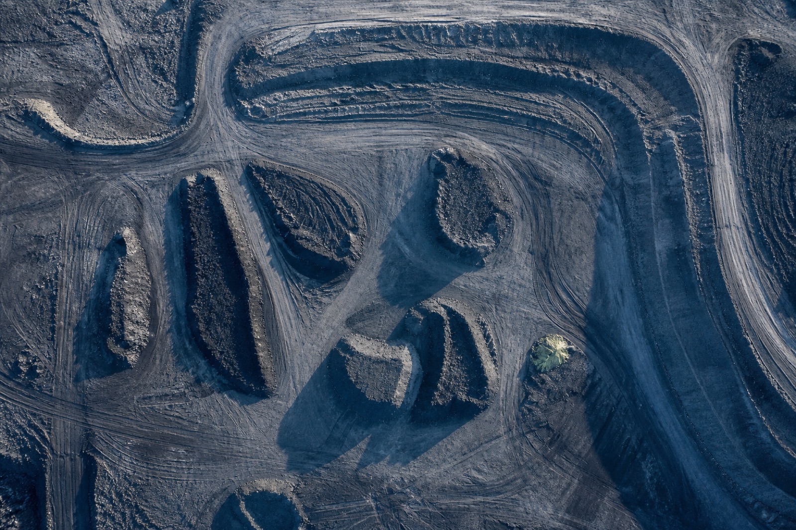
EV-03

Earthwork & Stockpile Volumetrics

Cut, fill and stock quantities against a design surface or a prior epoch, back inside 48 hours.

Earthwork & Stockpile Volumetrics

Volume surveys are built for speed. They run without ground marks, which lets us mobilise, fly and deliver within a couple of days.

That speed costs a little accuracy compared with a fully controlled survey, and we would rather show you the trade than hide it. For measuring stockpiles and earthworks quantities the difference is negligible; for checking a finished formation level it is not, and in that case we will recommend the full topographic product instead.

Method matters more than the number

Every quantity is delivered with the reference surface it was computed against, the boundary used and an uncertainty band. A volume without those things is an opinion.

Repeat surveys

Sites on a monthly cycle keep the same flight plan and the same setup, so the change from month to month reflects the ground moving rather than the survey moving.

What lands in the data drop

Classified point cloud — LAS / LAZ Bare-earth terrain model — DTM Digital surface model — DSM Orthomosaic — Ortho GeoTIFF Volumetric computation — Volumes Signed accuracy report — QA report

Control scheme applied

Single-baseline corrections streamed to the aircraft in flight. No post-processing, no ground marks. Fastest mobilisation for volume and progress work.

Scheme C-1 · horizontal 2.5 cm · vertical 4.5 cm · No ground marks

Start a project

Send us the site boundary. We will send back a flight plan.

Share an area of interest, the accuracy you need and the format your engineers work in. You get a mission plan, a control scheme, a fixed price and a delivery date — usually within one working day.

Request a quote +1 555 000 0000

Typical reply time: 1 working day