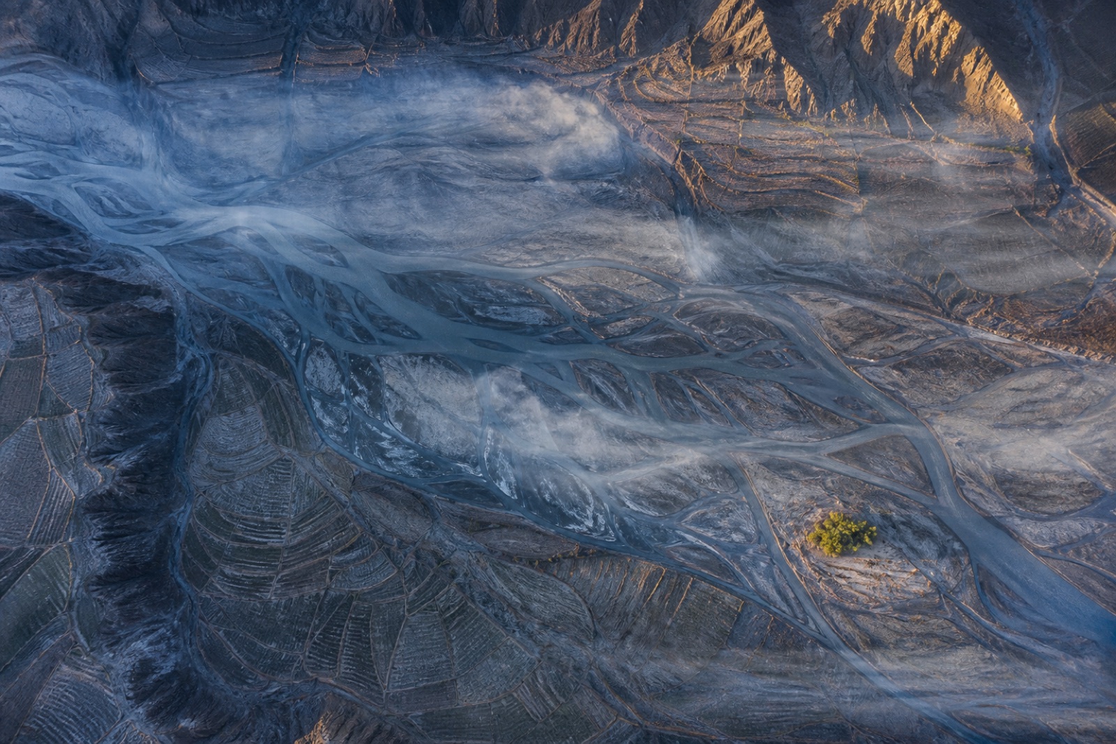
 TM-01
Land & Environment
TM-01
Land & Environment
Topographic Mapping & Contour Generation
Bare-earth terrain, contours and breaklines over open ground, tied to a distributed control network.
- Ground sampling
- 2.74 cm/px
- Horizontal RMSE
- 1.2 cm
Twelve standing products, each with a published altitude, ground sampling distance, achievable RMSE, point density and deliverable set. Pick the one that matches your tolerance — or send us the tolerance and we will pick.
TM-01
Land & Environment
Bare-earth terrain, contours and breaklines over open ground, tied to a distributed control network.
 LT-02
Land & Environment
LT-02
Land & Environment
Multi-return scanning that finds the ground where photogrammetry only ever sees leaves.
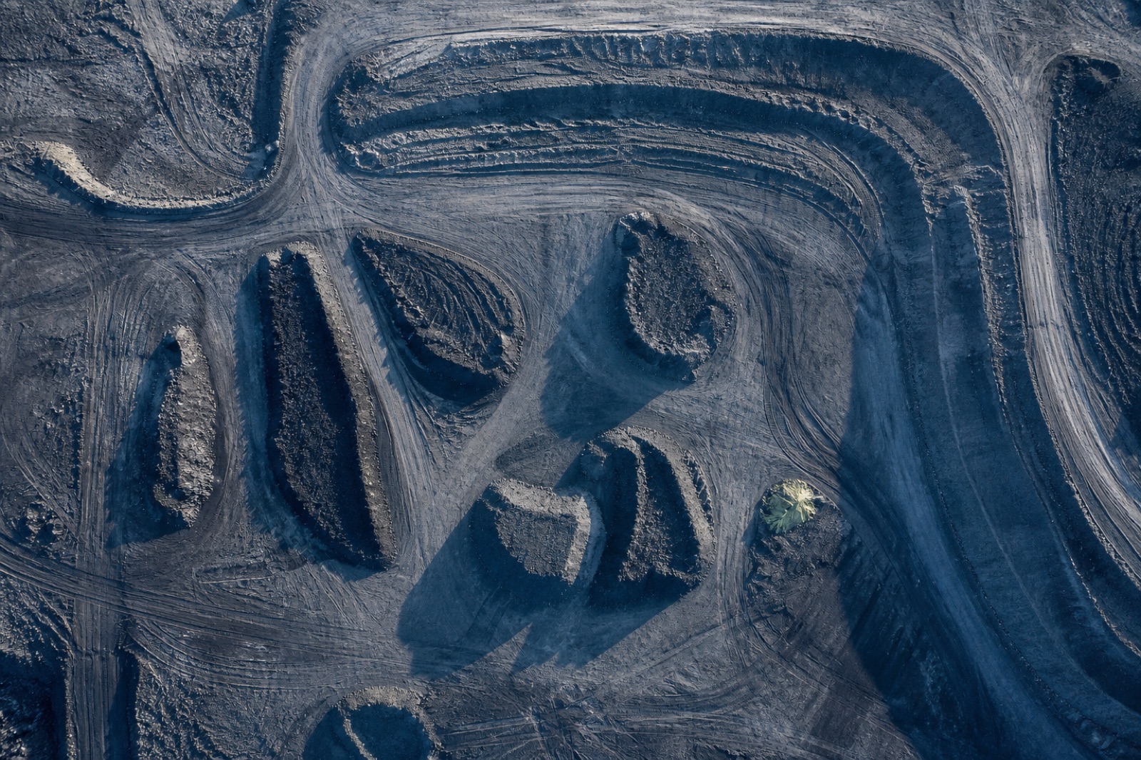 EV-03
Mining & Quarry
EV-03
Mining & Quarry
Cut, fill and stock quantities against a design surface or a prior epoch, back inside 48 hours.
 MQ-04
Mining & Quarry
MQ-04
Mining & Quarry
Bench geometry, face position and haul road condition on a live pit, flown around the shift.
 CI-05
Energy & Utilities
CI-05
Energy & Utilities
Conductor position, vegetation encroachment and structure condition along linear assets.
 AB-06
Civil & Construction
AB-06
Civil & Construction
Sub-centimetre verification of what was actually built, against what was actually drawn.
 OM-07
Civil & Construction
OM-07
Civil & Construction
Radiometrically balanced, properly orthorectified imagery you can measure on, not just look at.
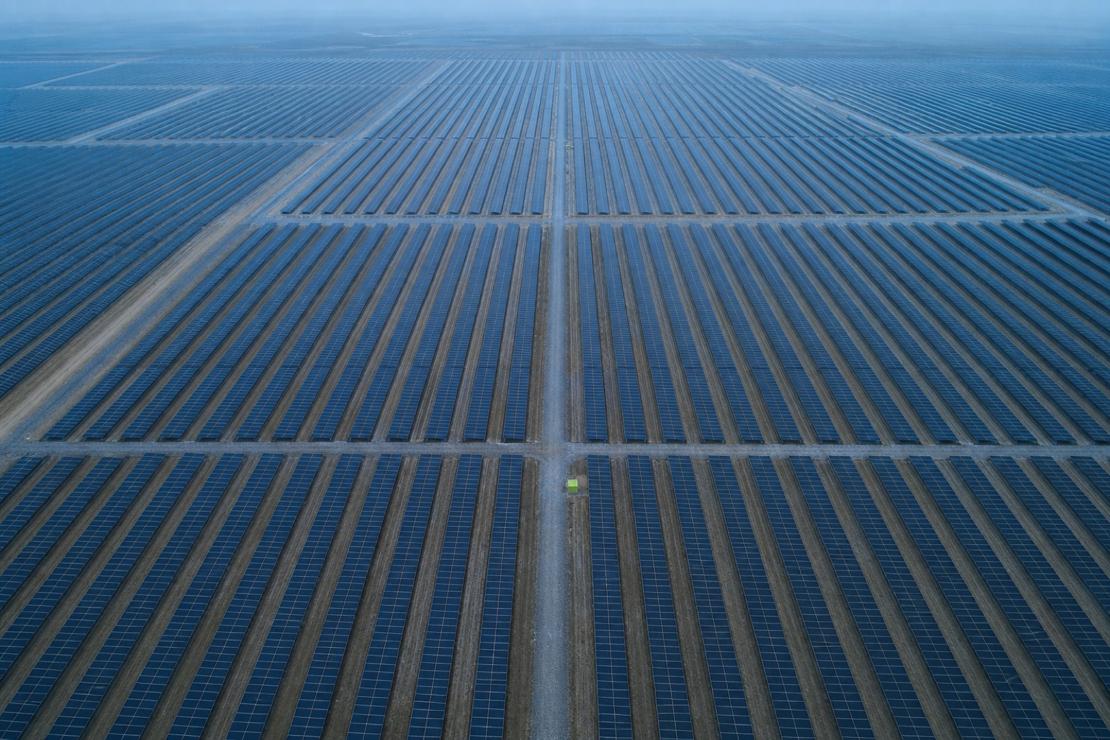 TH-08
Energy & Utilities
TH-08
Energy & Utilities
Radiometric thermal survey of generation assets, mapped to module position rather than to a video timestamp.
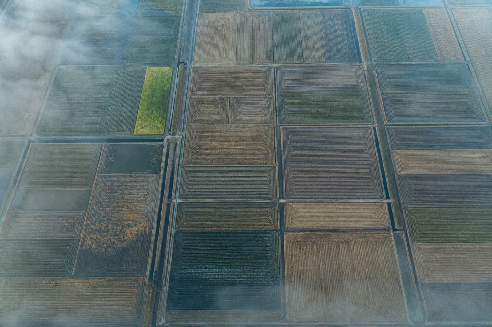 AG-09
Land & Environment
AG-09
Land & Environment
Calibrated five-band reflectance and derived indices, referenced to a panel measured on the day.
 CM-10
Land & Environment
CM-10
Land & Environment
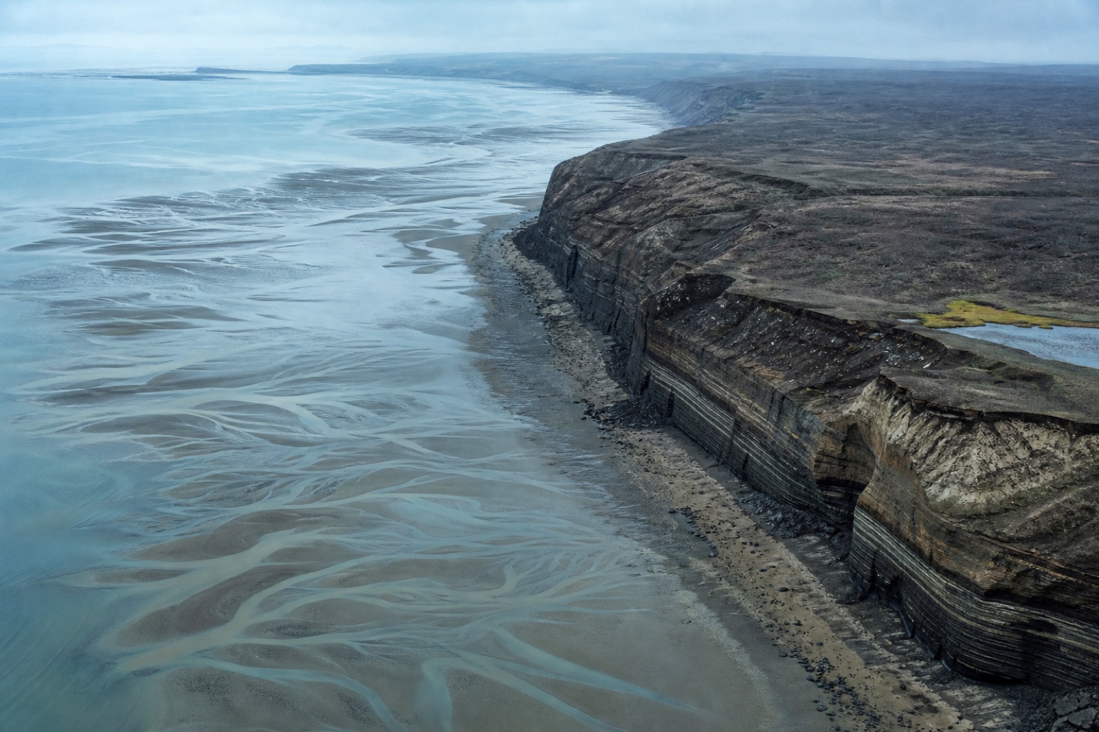
Repeat-epoch capture of erosion, accretion and bank retreat with the uncertainty stated per epoch.
 BS-11
Civil & Construction
BS-11
Civil & Construction
Millimetre-scale imagery of deck, pier and soffit geometry without a closure or a rope team.
 GC-12
Civil & Construction
GC-12
Civil & Construction
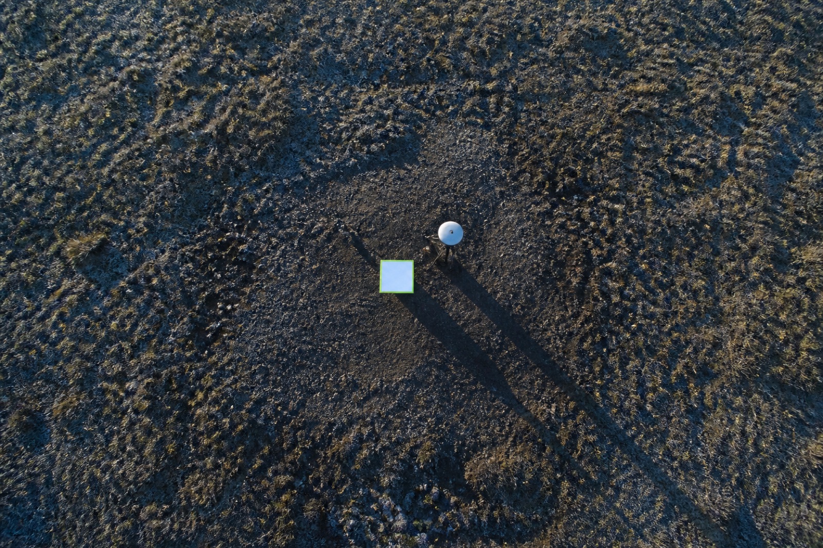
Target networks, checkpoint observation and independent validation of somebody else's survey.
Exactly what lands in your data drop, service by service
| Service | LAS / LAZ | DTM | DSM | Ortho GeoTIFF | Contours | 3D mesh | Volumes | CAD DWG | Index raster | QA report |
|---|---|---|---|---|---|---|---|---|---|---|
| Topographic Mapping & Contour Generation TM-01 · Land & Environment | ||||||||||
| LiDAR Terrain Modelling Under Canopy LT-02 · Land & Environment | ||||||||||
| Earthwork & Stockpile Volumetrics EV-03 · Mining & Quarry | ||||||||||
| Open-Pit & Quarry Survey MQ-04 · Mining & Quarry | ||||||||||
| Transmission Corridor Inspection CI-05 · Energy & Utilities | ||||||||||
| As-Built Construction Scanning AB-06 · Civil & Construction | ||||||||||
| Orthomosaic & Basemap Production OM-07 · Civil & Construction | ||||||||||
| Thermal & Solar Asset Inspection TH-08 · Energy & Utilities | ||||||||||
| Multispectral Vegetation & Land Cover Survey AG-09 · Land & Environment | ||||||||||
| Coastal & Riverbank Change Monitoring CM-10 · Land & Environment | ||||||||||
| Bridge & Structure Close-Range Inspection BS-11 · Civil & Construction | ||||||||||
| Ground Control & Accuracy Validation GC-12 · Civil & Construction |
Every job also ships the raw imagery or raw scanner returns, the processing report and the checkpoint residual table. Coordinate reference system and vertical datum are set from your project spec before the first flight.
Start a project
Share an area of interest, the accuracy you need and the format your engineers work in. You get a mission plan, a control scheme, a fixed price and a delivery date — usually within one working day.
Tell us the site, the tolerance and the delivery format. A surveyor replies with a flight plan and a fixed price.