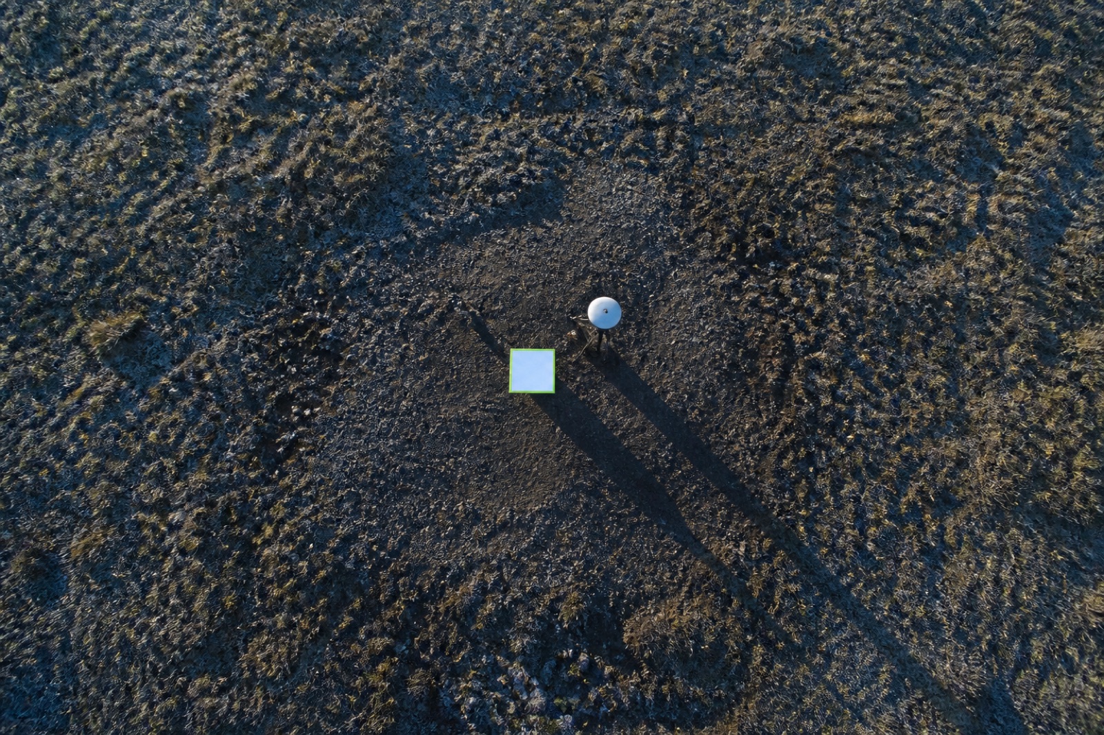
Sometimes the deliverable is the control itself. We establish and measure ground control networks for other people’s flights, and we independently check finished datasets that arrived without any accuracy evidence attached.
Marks are placed on stable ground and spread across the whole site — including its high and low points, because a network that only covers the flat part of a site only constrains the flat part of the result.
Independent validation
Give us a point cloud, a surface or an aerial map from any provider and we will measure an independent set of checkpoints, compare them against the data and report whether the claimed accuracy holds up. We report what we measure, including when it is better than claimed.
Why marks still matter
Modern onboard positioning removes the need for ground marks to build a map. It does not remove the need for marks to prove one. Those are different jobs, and only one of them can be done from the air.