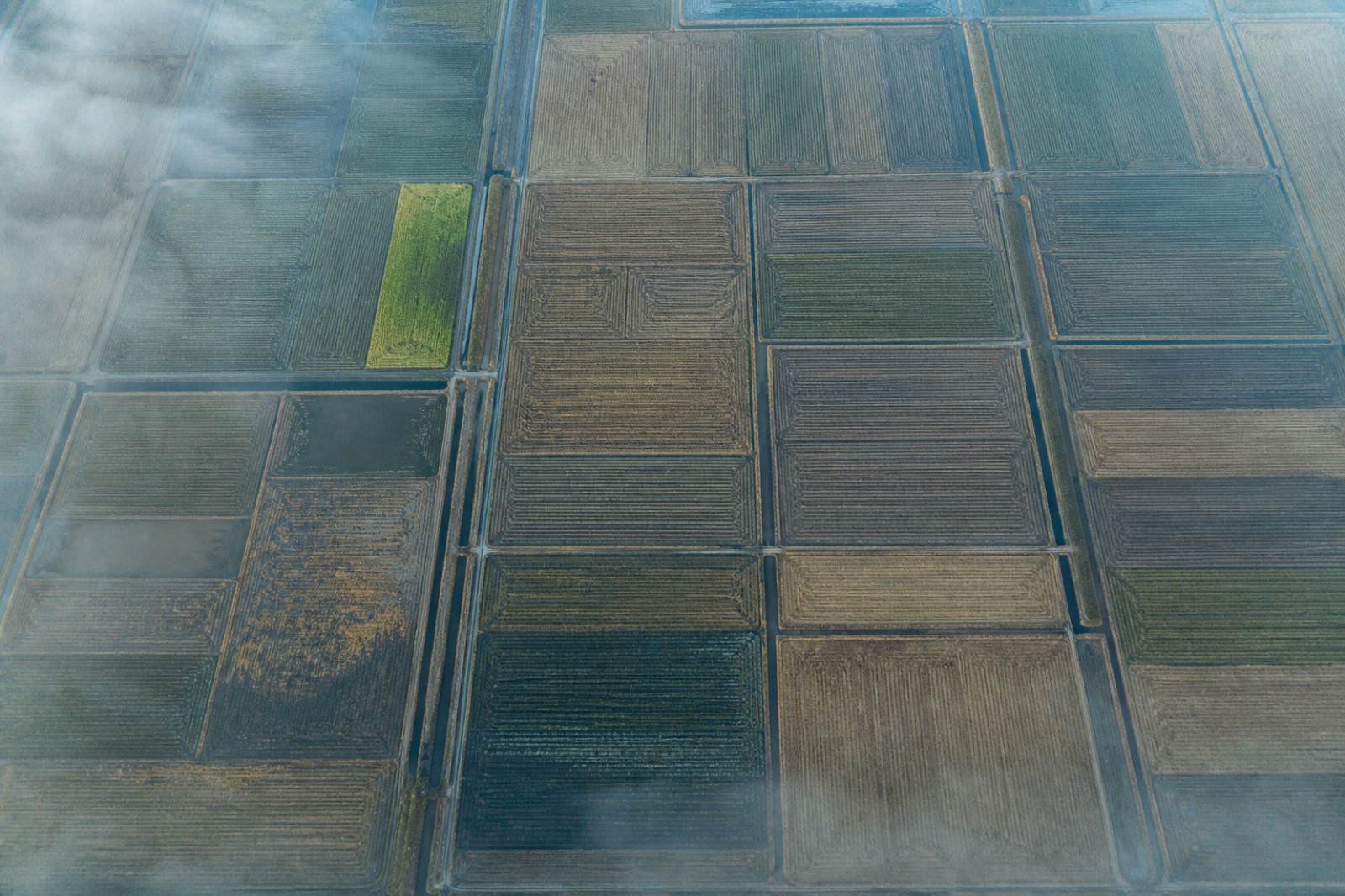
A multispectral camera records light in several narrow bands, including some the eye cannot see, and it is calibrated against a reference panel measured on the ground immediately before and after each flight.
Without that calibration the numbers cannot be compared with the same field a few weeks later. Half the value of a multispectral survey is in the calibration, and it is the half most often skipped.
Indices are a means, not the product
We deliver the calibrated imagery first and the derived vegetation indices second, because next season you may want a different index than the one that was fashionable this season. The imagery keeps its value; a single derived map does not.
Coarser on purpose
Multispectral imagery is coarser than the ordinary photography flown alongside it — that is simply the physics of the sensor — but it is still far finer than any satellite product available on the same day.