 TM-01
Land & Environment
TM-01
Land & Environment
Topographic Mapping & Contour Generation
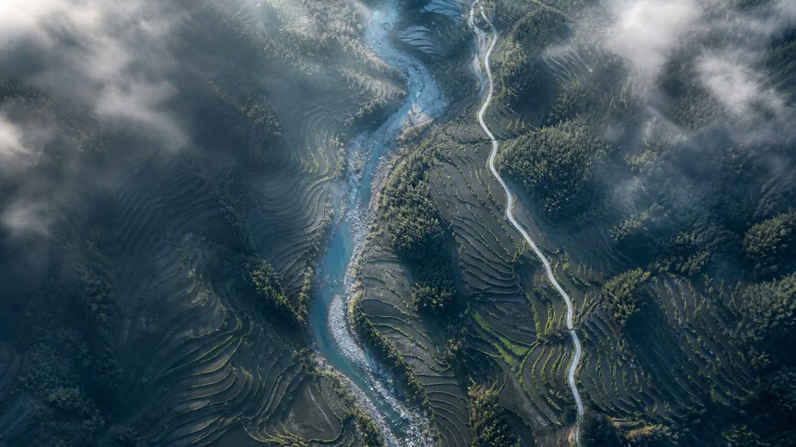
Bare-earth terrain, contours and breaklines over open ground, tied to a distributed control network.
- Ground sampling
- 2.74 cm/px
- Horizontal RMSE
- 1.2 cm
Survey-grade aerial data capture
We fly RTK and PPK survey missions, process the trajectory ourselves, and hand you a checked point cloud, terrain model and orthomosaic with a signed accuracy statement. No black boxes, no rounded numbers.
Service catalogue
Ground sampling distance, achievable RMSE, point density and single-sortie coverage are stated for every service before you commit. If a site cannot hold the figure, we say which one moves and why.
TM-01
Land & Environment
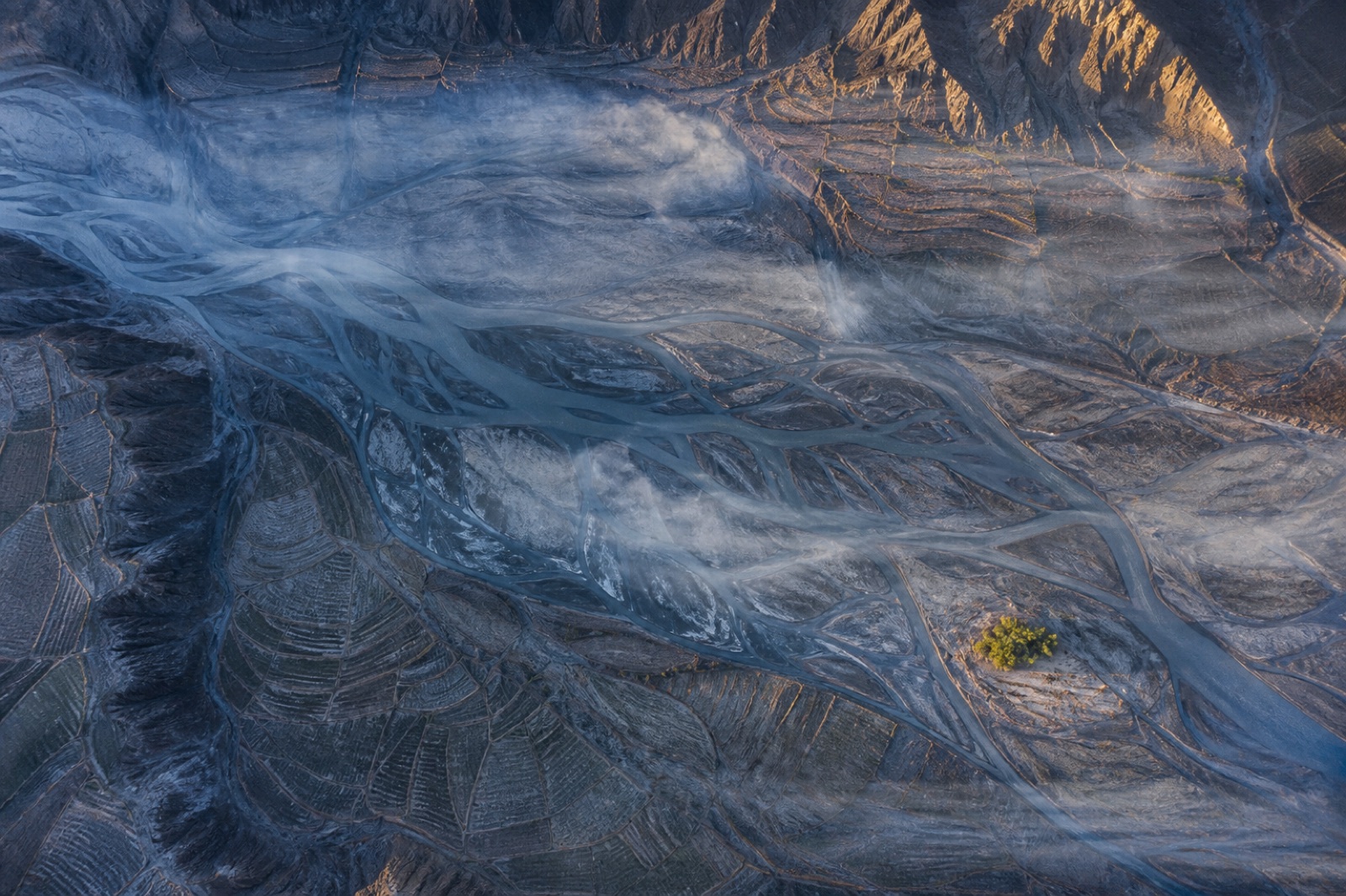
Bare-earth terrain, contours and breaklines over open ground, tied to a distributed control network.
 LT-02
Land & Environment
LT-02
Land & Environment
Multi-return scanning that finds the ground where photogrammetry only ever sees leaves.
 EV-03
Mining & Quarry
EV-03
Mining & Quarry
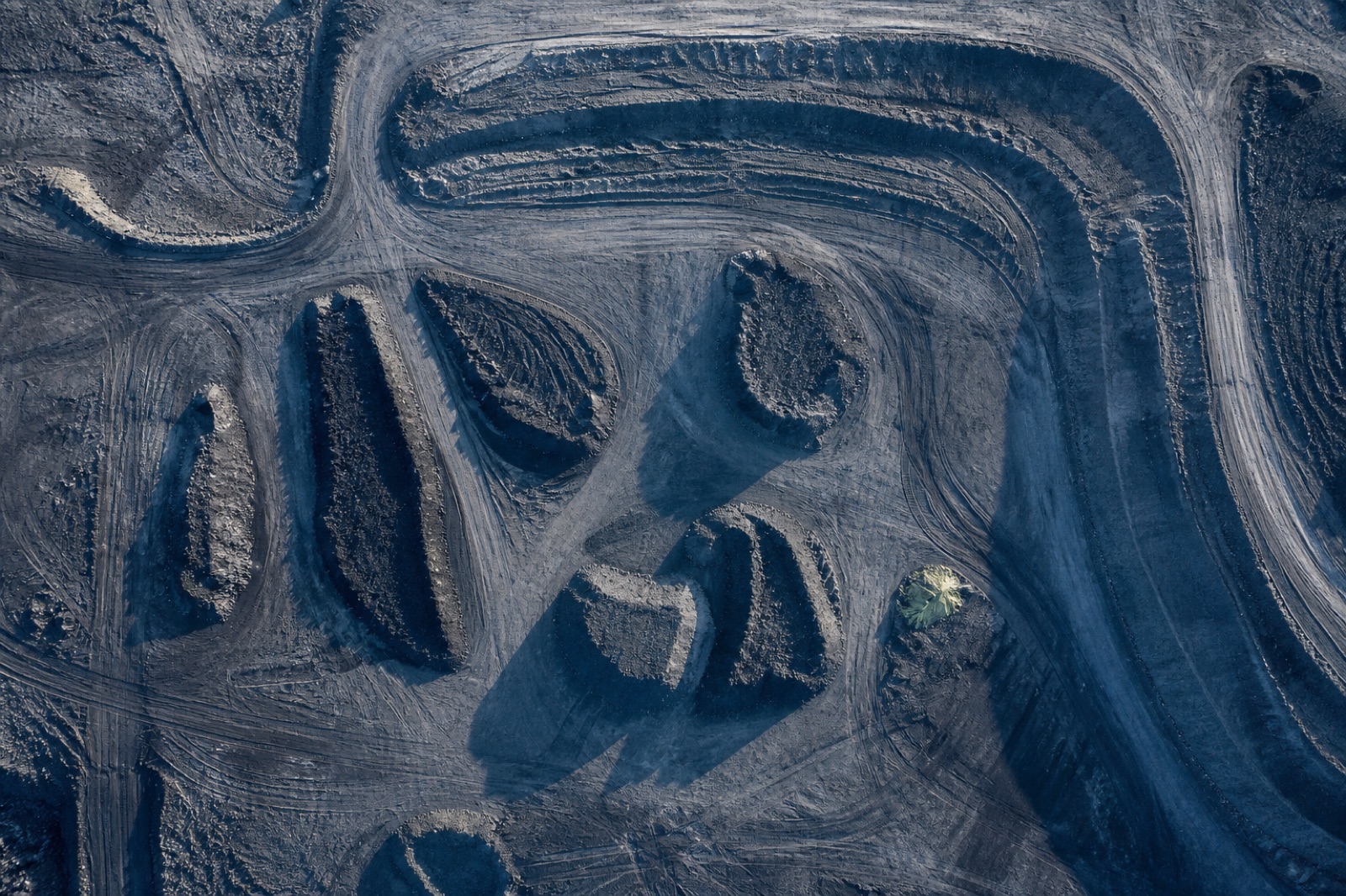
Cut, fill and stock quantities against a design surface or a prior epoch, back inside 48 hours.
 MQ-04
Mining & Quarry
MQ-04
Mining & Quarry
Bench geometry, face position and haul road condition on a live pit, flown around the shift.
 CI-05
Energy & Utilities
CI-05
Energy & Utilities
Conductor position, vegetation encroachment and structure condition along linear assets.
 AB-06
Civil & Construction
AB-06
Civil & Construction
Sub-centimetre verification of what was actually built, against what was actually drawn.
 OM-07
Civil & Construction
OM-07
Civil & Construction
Radiometrically balanced, properly orthorectified imagery you can measure on, not just look at.
 TH-08
Energy & Utilities
TH-08
Energy & Utilities
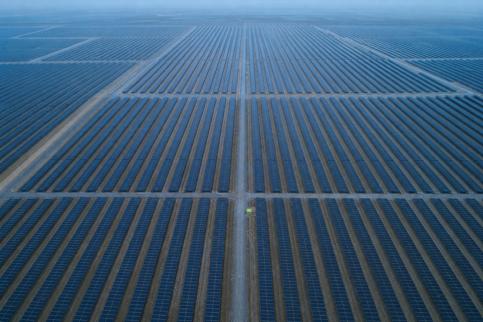
Radiometric thermal survey of generation assets, mapped to module position rather than to a video timestamp.
 AG-09
Land & Environment
AG-09
Land & Environment
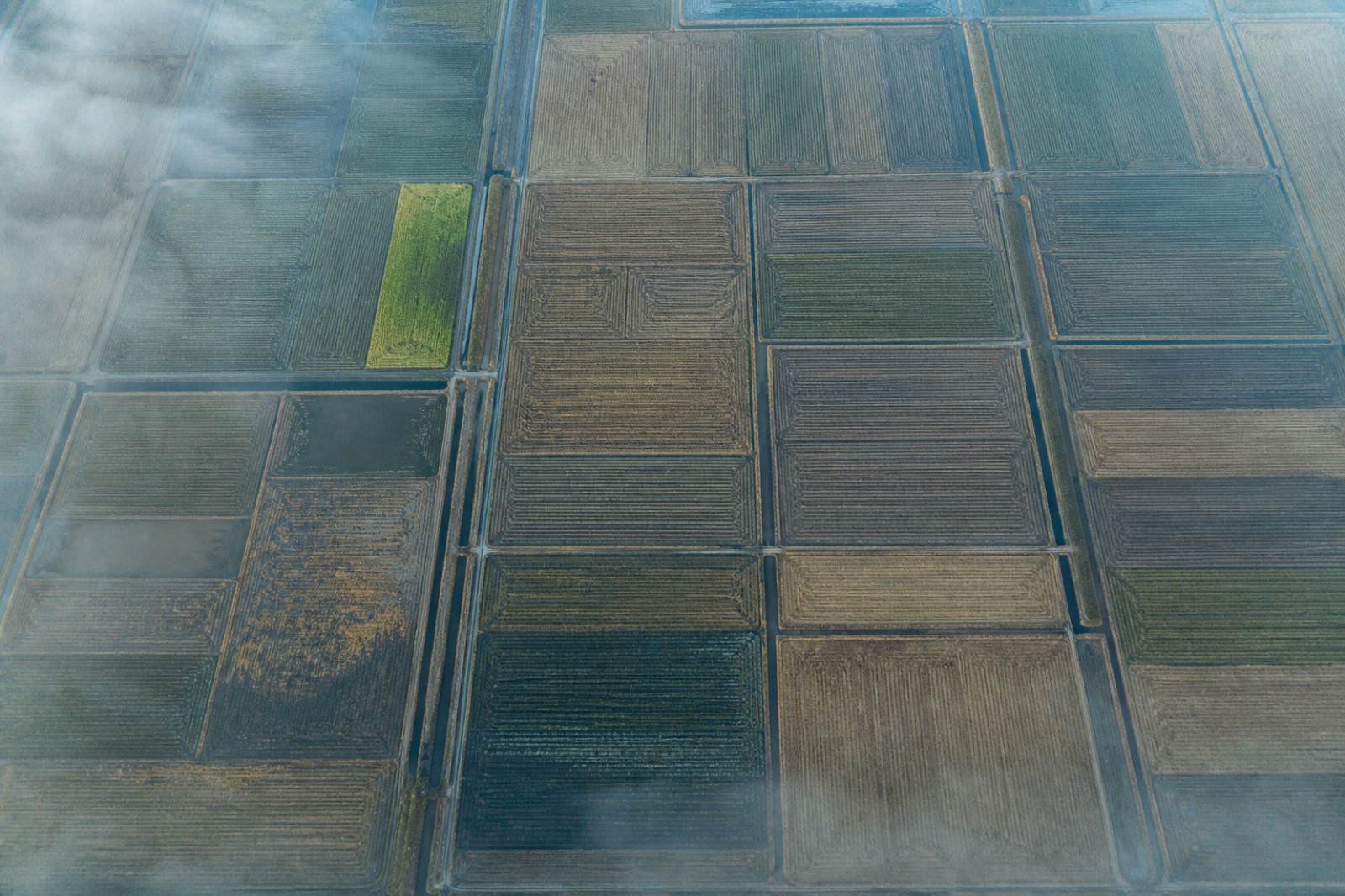
Calibrated five-band reflectance and derived indices, referenced to a panel measured on the day.
 CM-10
Land & Environment
CM-10
Land & Environment
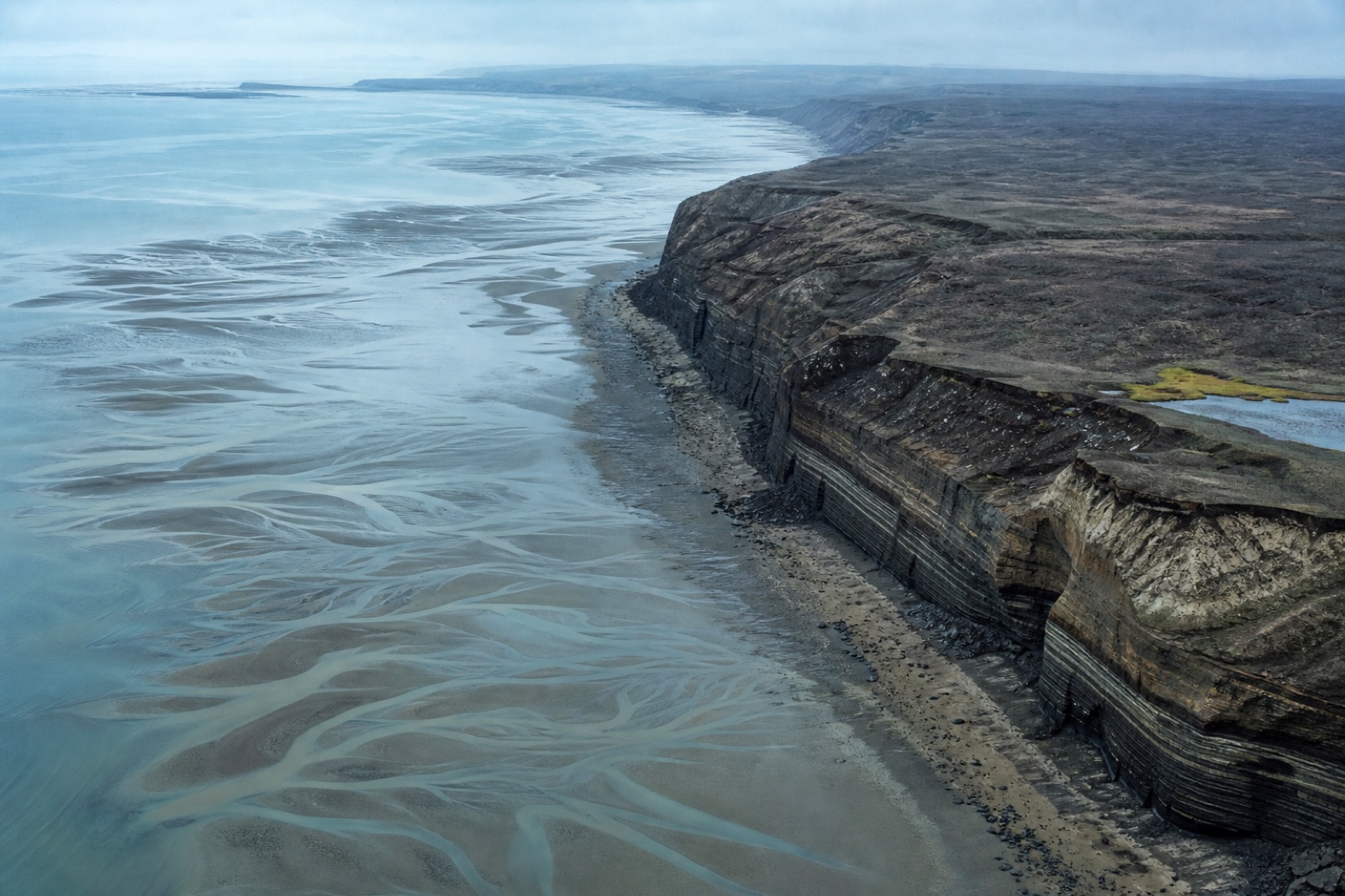
Repeat-epoch capture of erosion, accretion and bank retreat with the uncertainty stated per epoch.
 BS-11
Civil & Construction
BS-11
Civil & Construction
Millimetre-scale imagery of deck, pier and soffit geometry without a closure or a rope team.
 GC-12
Civil & Construction
GC-12
Civil & Construction
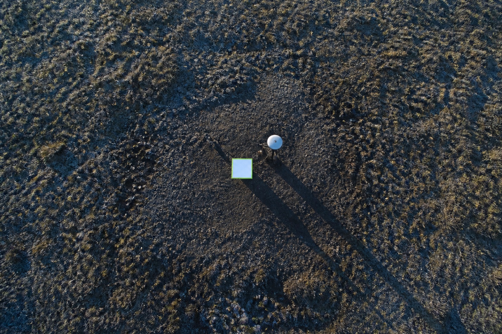
Target networks, checkpoint observation and independent validation of somebody else's survey.
What you receive
Exactly what is included with each service in the catalogue, filterable by sector. If something you need is not on the list, ask — most requests are a scoping conversation, not a limitation.
Exactly what lands in your data drop, service by service
| Service | LAS / LAZ | DTM | DSM | Ortho GeoTIFF | Contours | 3D mesh | Volumes | CAD DWG | Index raster | QA report |
|---|---|---|---|---|---|---|---|---|---|---|
| Topographic Mapping & Contour Generation TM-01 · Land & Environment | ||||||||||
| LiDAR Terrain Modelling Under Canopy LT-02 · Land & Environment | ||||||||||
| Earthwork & Stockpile Volumetrics EV-03 · Mining & Quarry | ||||||||||
| Open-Pit & Quarry Survey MQ-04 · Mining & Quarry | ||||||||||
| Transmission Corridor Inspection CI-05 · Energy & Utilities | ||||||||||
| As-Built Construction Scanning AB-06 · Civil & Construction | ||||||||||
| Orthomosaic & Basemap Production OM-07 · Civil & Construction | ||||||||||
| Thermal & Solar Asset Inspection TH-08 · Energy & Utilities | ||||||||||
| Multispectral Vegetation & Land Cover Survey AG-09 · Land & Environment | ||||||||||
| Coastal & Riverbank Change Monitoring CM-10 · Land & Environment | ||||||||||
| Bridge & Structure Close-Range Inspection BS-11 · Civil & Construction | ||||||||||
| Ground Control & Accuracy Validation GC-12 · Civil & Construction |
Every job also ships the raw imagery or raw scanner returns, the processing report and the checkpoint residual table. Coordinate reference system and vertical datum are set from your project spec before the first flight.
How a job runs
You send a boundary, an accuracy class and a delivery format. We check airspace, terrain relief and obstruction, then fix the altitude, overlap and control scheme.
Targets are set and observed on a static base, distributed across the block and across the relief. Thirty per cent are held back as blind checkpoints.
Flown to the planned line spacing with cross-strips at the block ends. Coverage and exposure are verified on site before the crew stands down.
Trajectory processed forward and reverse, bundle adjusted against the marks, cloud classified to ground, vegetation, building and low noise.
Residuals computed on the withheld checkpoints and published as a table. A surveyor signs the accuracy statement — not a script.
Field journal
Testing a map against the same marks that built it proves very little. We keep part of the network aside purely to…
Read noteThe headline accuracy figure is one number summarising many. Reading the whole table tells you far more about whether a survey can…
Read noteTwo ways to position the same flight. The difference shows up when the terrain gets difficult — and in how much you…
Read noteTalk to a surveyor
Share an area of interest, the accuracy you need and the format your engineers work in. You get a mission plan, a control scheme, a fixed price and a delivery date — usually within one working day.
Tell us the site, the accuracy class and the deliverables your team works in. A surveyor replies with a flight plan and a fixed price.
Tell us the site, the tolerance and the delivery format. A surveyor replies with a flight plan and a fixed price.


