TH-08

Thermal & Solar Asset Inspection

Radiometric thermal survey of generation assets, mapped to module position rather than to a video timestamp.

Thermal & Solar Asset Inspection

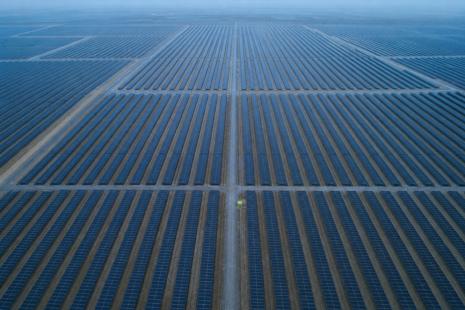
A thermal camera flown over a solar array resolves individual panels well enough to tell a failed component from a simple patch of soiling.

The thermal imagery is processed into a georeferenced map and joined to standard photography from the same flight, so every anomaly is identified by its position in the array rather than by a frame number.

Conditions are part of the spec

Thermal results are only meaningful in the right weather: strong sun, light wind and a stable array. We record the site conditions throughout the flight and publish them with the results, because a thermal report without them cannot be defended.

Findings

Anomalies are classified by severity and type, tabulated with coordinates and module references, and delivered with the imagery so your maintenance team can re-check any of them.

What lands in the data drop

Orthomosaic — Ortho GeoTIFF Radiometric index raster — Index raster Digital surface model — DSM Signed accuracy report — QA report

Control scheme applied

Single-baseline corrections streamed to the aircraft in flight. No post-processing, no ground marks. Fastest mobilisation for volume and progress work.

Scheme C-1 · horizontal 2.5 cm · vertical 4.5 cm · No ground marks

Start a project

Send us the site boundary. We will send back a flight plan.

Share an area of interest, the accuracy you need and the format your engineers work in. You get a mission plan, a control scheme, a fixed price and a delivery date — usually within one working day.

Request a quote +1 555 000 0000

Typical reply time: 1 working day