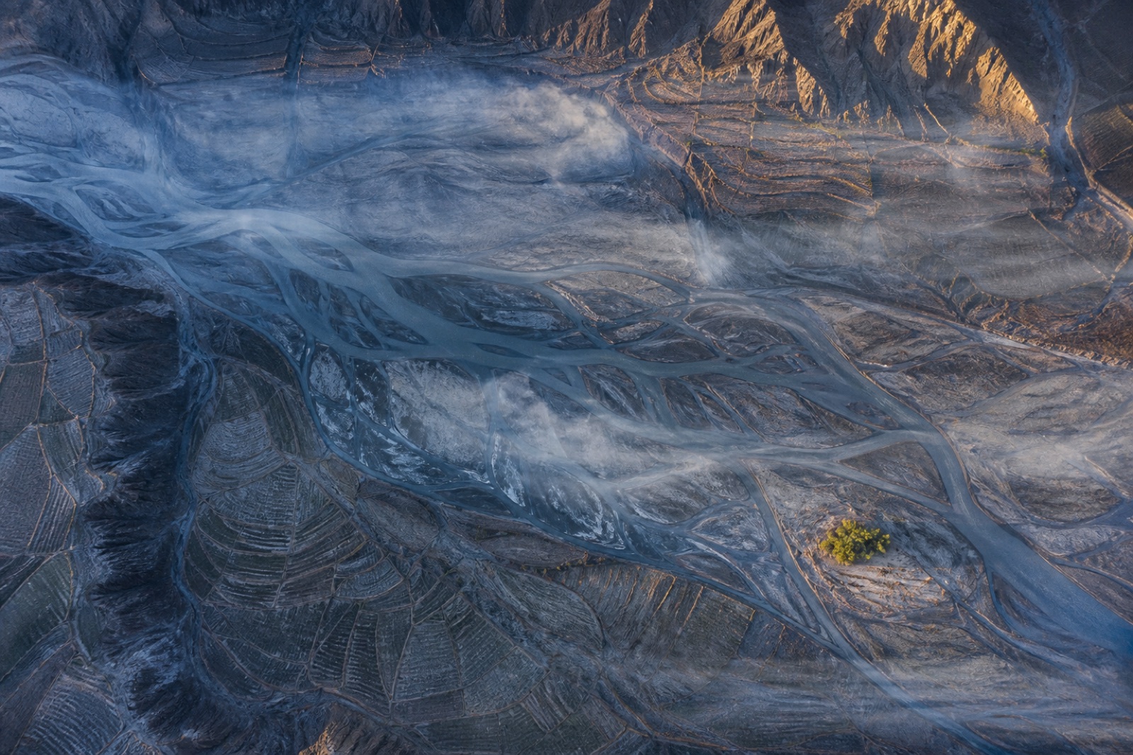
Our core mapping service for open ground. We photograph the site from the air on a planned grid, tie the flight to survey marks measured on the ground, and process the imagery into an accurate three-dimensional model of the terrain.
Some of the ground marks are deliberately kept out of the processing and used only to test the finished surface. The accuracy we report is measured against those independent points, so it reflects the map you receive rather than the software’s own score.
Where accuracy gets harder
Dense vegetation, steep faces and open water all make a photographic surface less reliable. Where site conditions are likely to affect the result, we say so in the quote and recommend extra ground marks, a lower flight or a laser-scanning product instead.
What you get
A classified point cloud, a bare-earth terrain model, an orthophoto map, contours and CAD linework, delivered in the formats and coordinate system your team already works in.