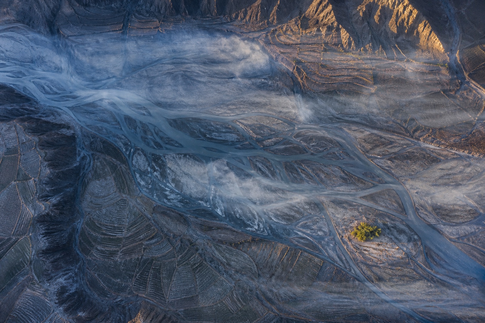
 TM-01
Land & Environment
TM-01
Land & Environment
Topographic Mapping & Contour Generation
Bare-earth terrain, contours and breaklines over open ground, tied to a distributed control network.
- Ground sampling
- 2.74 cm/px
- Horizontal RMSE
- 1.2 cm
Terrain, coastline, vegetation and land cover work where the deliverable is a defensible surface rather than a picture.
TM-01
Land & Environment
Bare-earth terrain, contours and breaklines over open ground, tied to a distributed control network.
 LT-02
Land & Environment
LT-02
Land & Environment
Multi-return scanning that finds the ground where photogrammetry only ever sees leaves.
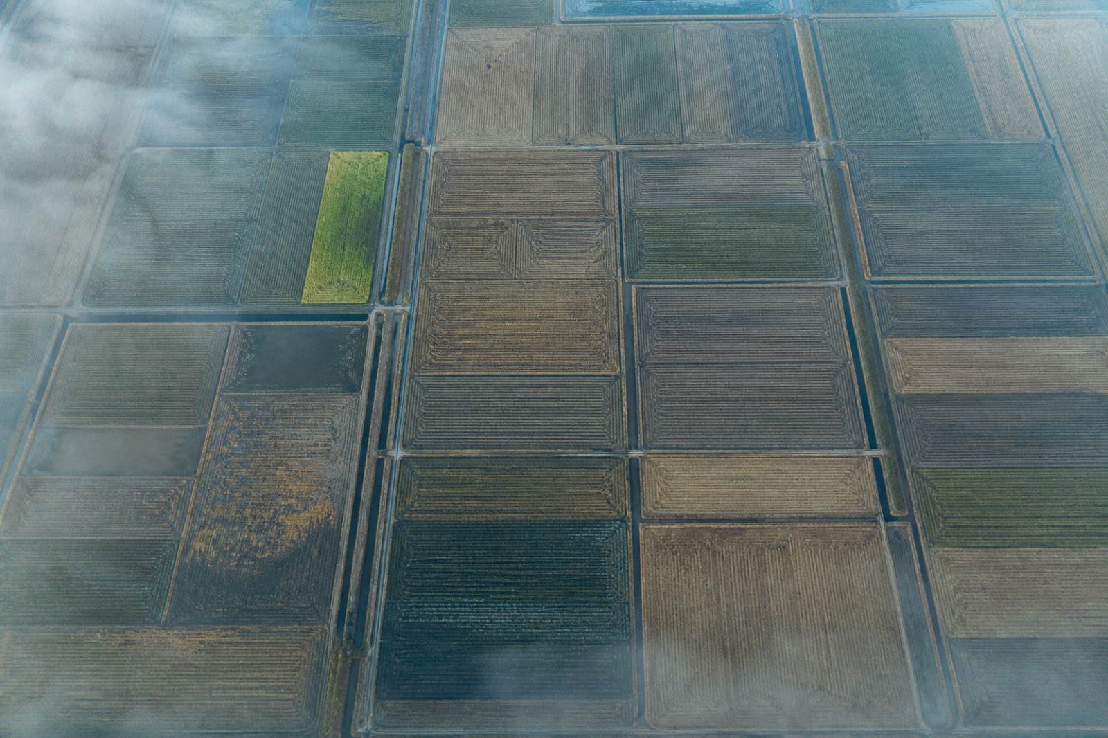 AG-09
Land & Environment
AG-09
Land & Environment
Calibrated five-band reflectance and derived indices, referenced to a panel measured on the day.
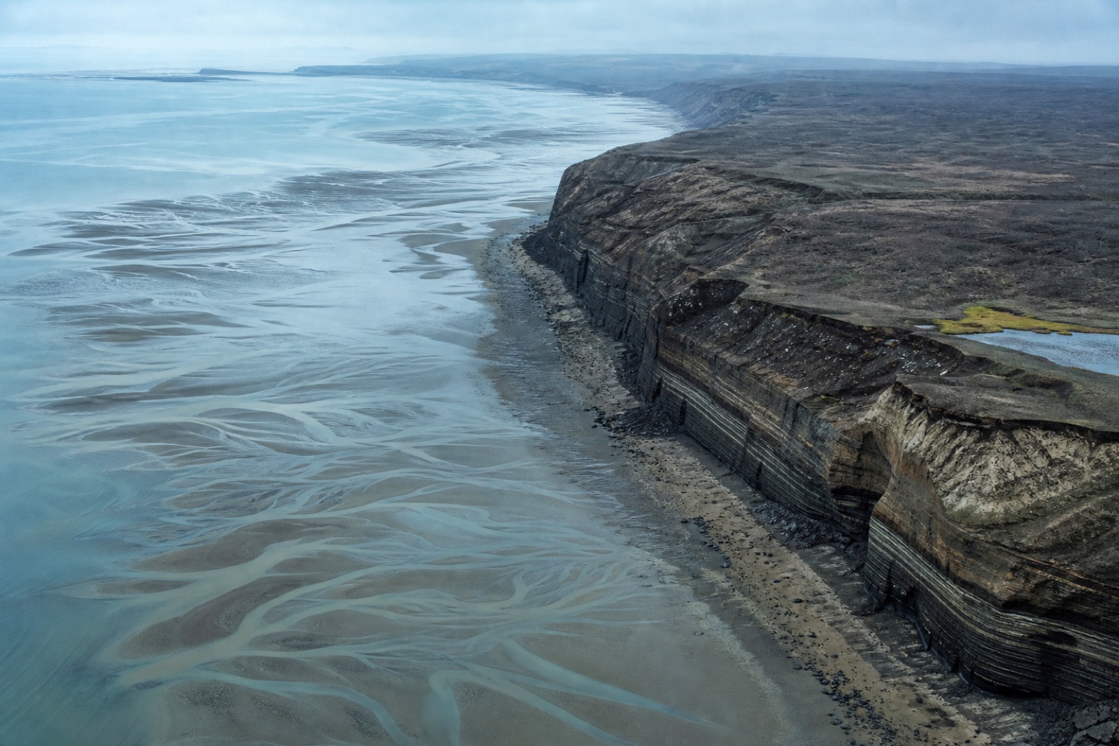 CM-10
Land & Environment
CM-10
Land & Environment
Repeat-epoch capture of erosion, accretion and bank retreat with the uncertainty stated per epoch.
Start a project
Share an area of interest, the accuracy you need and the format your engineers work in. You get a mission plan, a control scheme, a fixed price and a delivery date — usually within one working day.
Tell us the site, the tolerance and the delivery format. A surveyor replies with a flight plan and a fixed price.